Some times the AT looks like a heart beat. It rises and falls in a smooth rhythm. Other days, it trends simply up or simply down. It is never flat.
After crossing the French Broad River, the trail takes a sharp right, and walks along the river’s flat banks. Before you can think how pleasant it is, you’re already climbing.
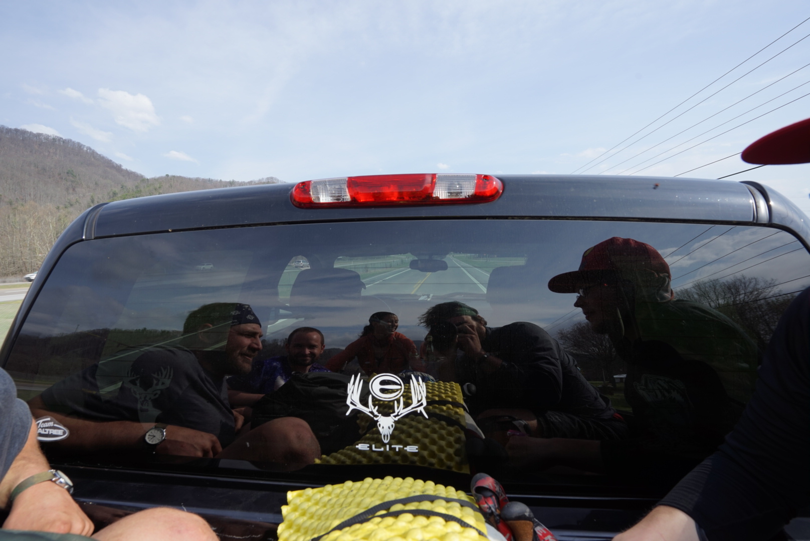
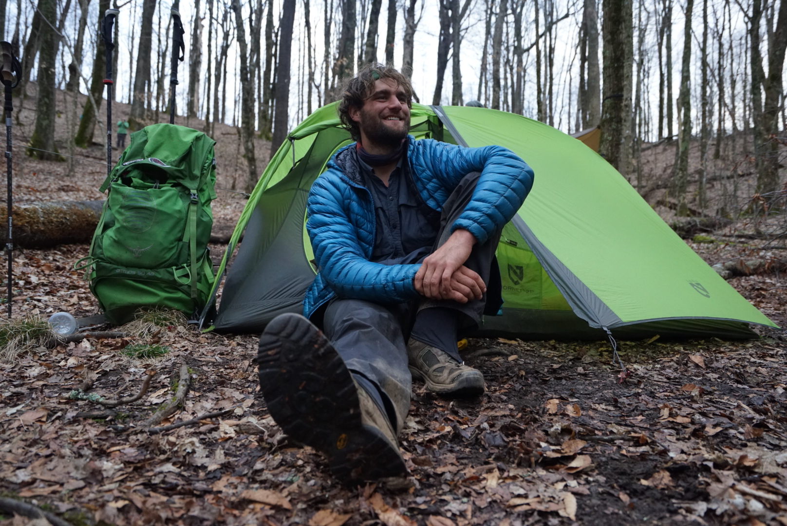
We were leaving Hot Springs in a group. Legs and myself, Strider, Honey Badger, Lumber Jill, Wet Wipes, Oz, and Glim Glom. We all had the itus, a hiker term which here describes the inflamed, tired, and overall grumpy sensation a hiker gets after taking a zero and gorging on food. Basically, no one was feeling it that morning, and who could blame us.
Don’t get me wrong, we love to hike, we wouldn’t be out here if we didn’t, but it is a struggle to get back into rhythm after taking a day off and not burning the thousands of calories we had eaten. It’s like our legs forgot their purpose.
But as Honey Badger would say, “We’re out here to walk.”
And walk we did, gaining altitude in an initial climb that shocked our glutes back into working order. We just wanted out of that first climb, so we blew past Lover’s Leap, slogging away. Eventually, the trail tapered out, but still gained ground. We passed a still pond, the sky reflecting off it’s mirrored surface, and our spirits lifted ever so slightly. Then it was back up. When your not feeling your best, every climb is a screamer, but the dominiative beauty of the pond had begun to bring us back into the fold.

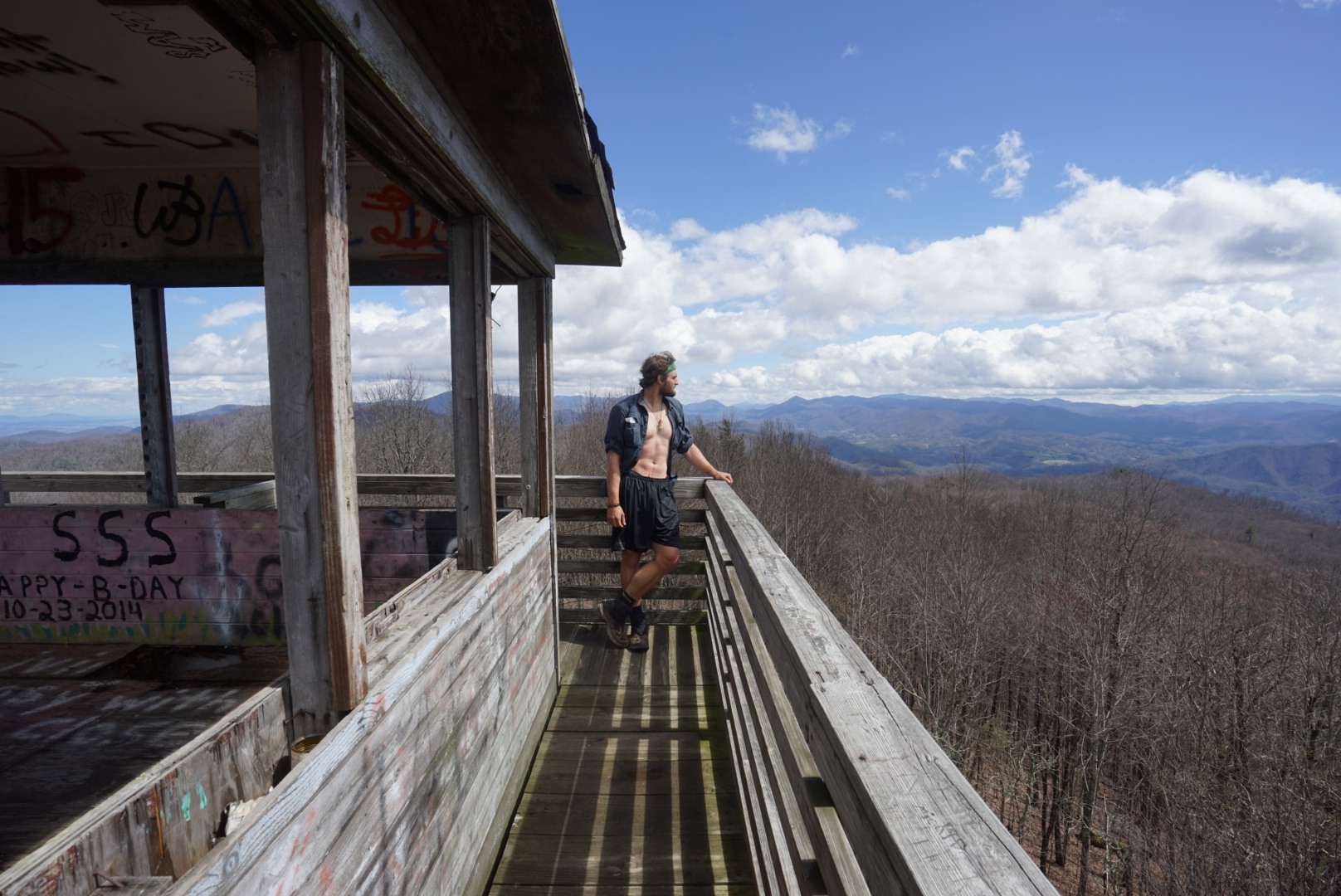
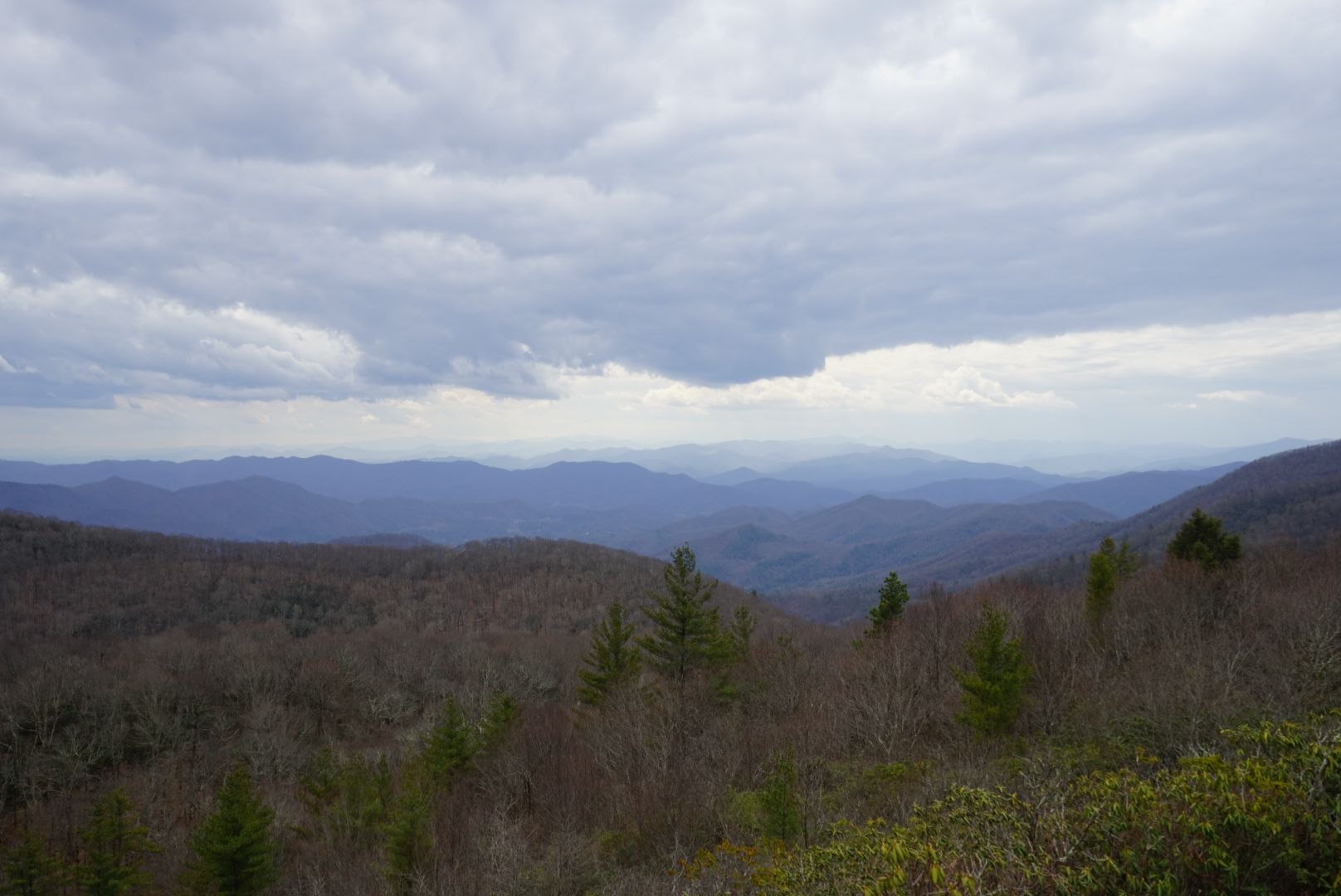
At the end of nine miles, the climb finally crests, skirting the summit of Rich Mountain. A .1 mile side trail led to the summit and fire tower. Like most thru hikers, a fire tower is not just something we can ignore.
That .1 felt like at least .2, but it was worth the extra junk mileage. As Legs and I approached the tower, Winter was already at its zenith, looking out on the multicolored ridges.

Winter is an odd one. She’s tall, and wirey at 6′, with a mound of frizzy hair that seems to grow as she tackles miles. She’s the type of person who can hike a 20+ mile day, and show up looking like she didn’t even realize it. Her nonchalant and sometimes aloof facade belies a sharp wit, and care free attitude that is rare these days. Legs and I did catch her taking a snack break, in the rain, in an open field.
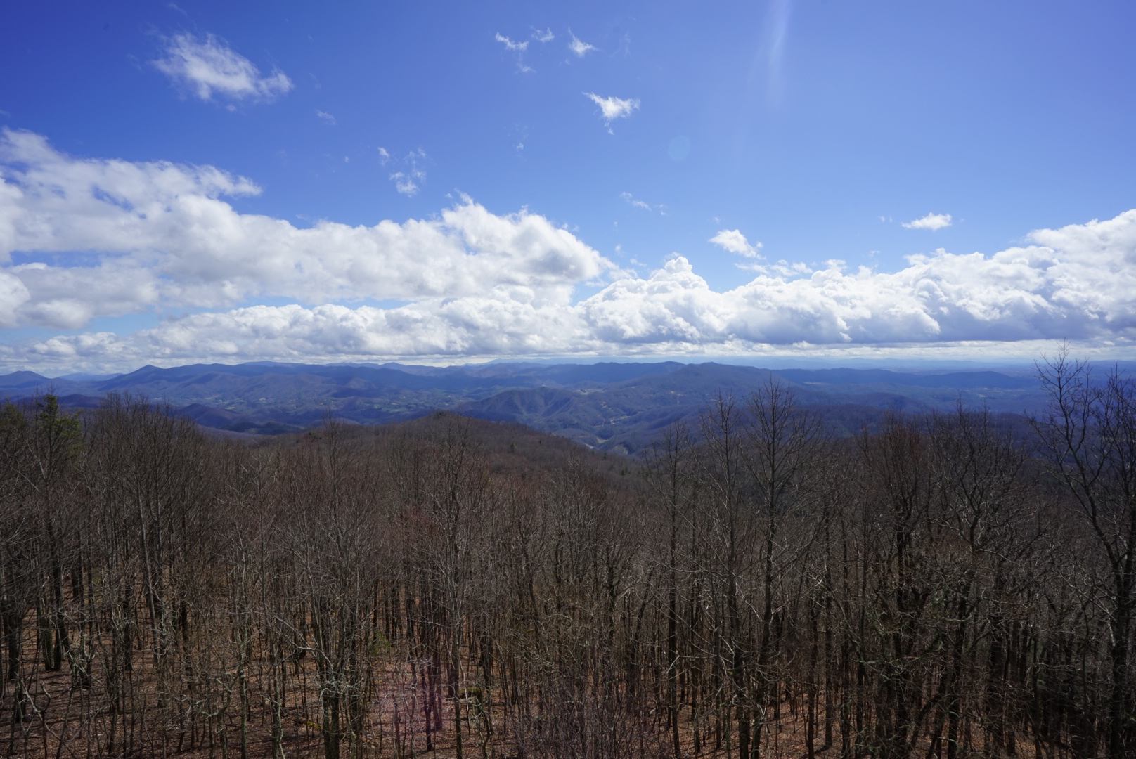
We climbed to the catwalk of the tower, and took a look around. It looked like shit. Graffiti covered every surface, a patchwork of ignorance, while the floor had gaping holes in it, whether from a plank just missing, or a rotting hole in the plywood. Nevertheless, we stayed for a long enough time for the whole tramily to be up there at once.

 Hikers are to vistas, like moths are to flame. We can’t resist them. Throw in a one gallon ziplock bag filled with Oreos, which was in my hand, and you’ve got yourself a good time.
As always, one cannot stay on the summit forever, and because we are masochists, we continued hiking.
The plan was to hike 16 miles out of Hot Springs, where the trail crosses Allen Gap, and where Honey Badger and Wet Wipes promised there was a store that sold food and beer. Beer being the proverbial carrot to a hiker’s mule brain, we decided 16 miles was a totally great amount to hike.
Allen Gap would turn out to be the most bizarre camp yet. Just before reaching the road which traverses it, a hand painted sign reads, “Mom’s Store. 100 yards.” An arrow points down a closed fire road toward the street.
 This was it, beer and food, the reason we were stopping here, despite the lackluster location next to the road, and iffy water source. We walked down the path to Mom’s Store. It was closed.
Even if it was open, I didn’t want to go in. Later on I would remark that the “store” looked like a place you would enter if you didn’t want skin anymore.
It is a dilapidated, concrete building, with boarded up or fogged windows, like ones you’d see in a condemned house that was built over a pet cemetery. Looking through the glazed glass only brought more nightmares to the forefront. Moms store looked more like a hoarder’s den, with multiple couches, chairs, and refrigerators crammed into the rectangular space.
We camped like, feet away from that nightmare, and it didn’t get any better from there. Cars zoomed close by, pinging us with the sounds we are trying to escape. Eventually, when the cars stopped coming, what can only be described as a dog massacre, occurred at around 4am. It sounded like dogs were both killing and being killed, which doesn’t make for a good lullaby.
We were happy to leave Allen Gap the next morning, but just as we were about to leave, Moms opens. Turns out they did sell beer, and it’s not run by a skin collector. It’s just shabby and, frankly, gross.
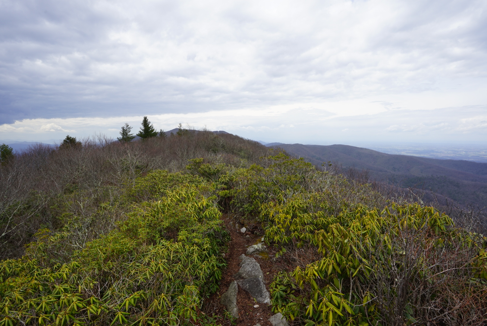
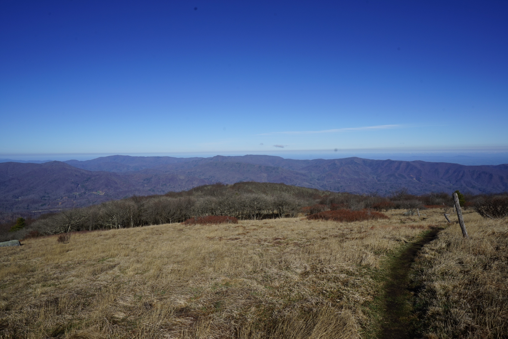
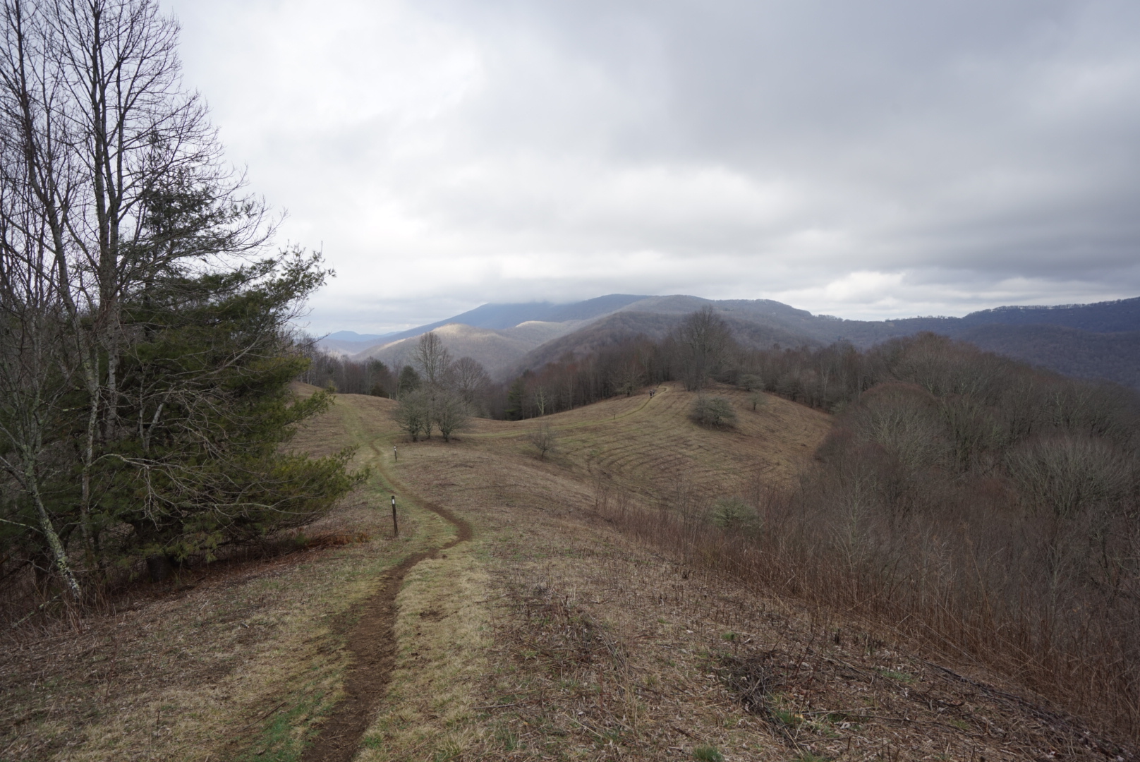
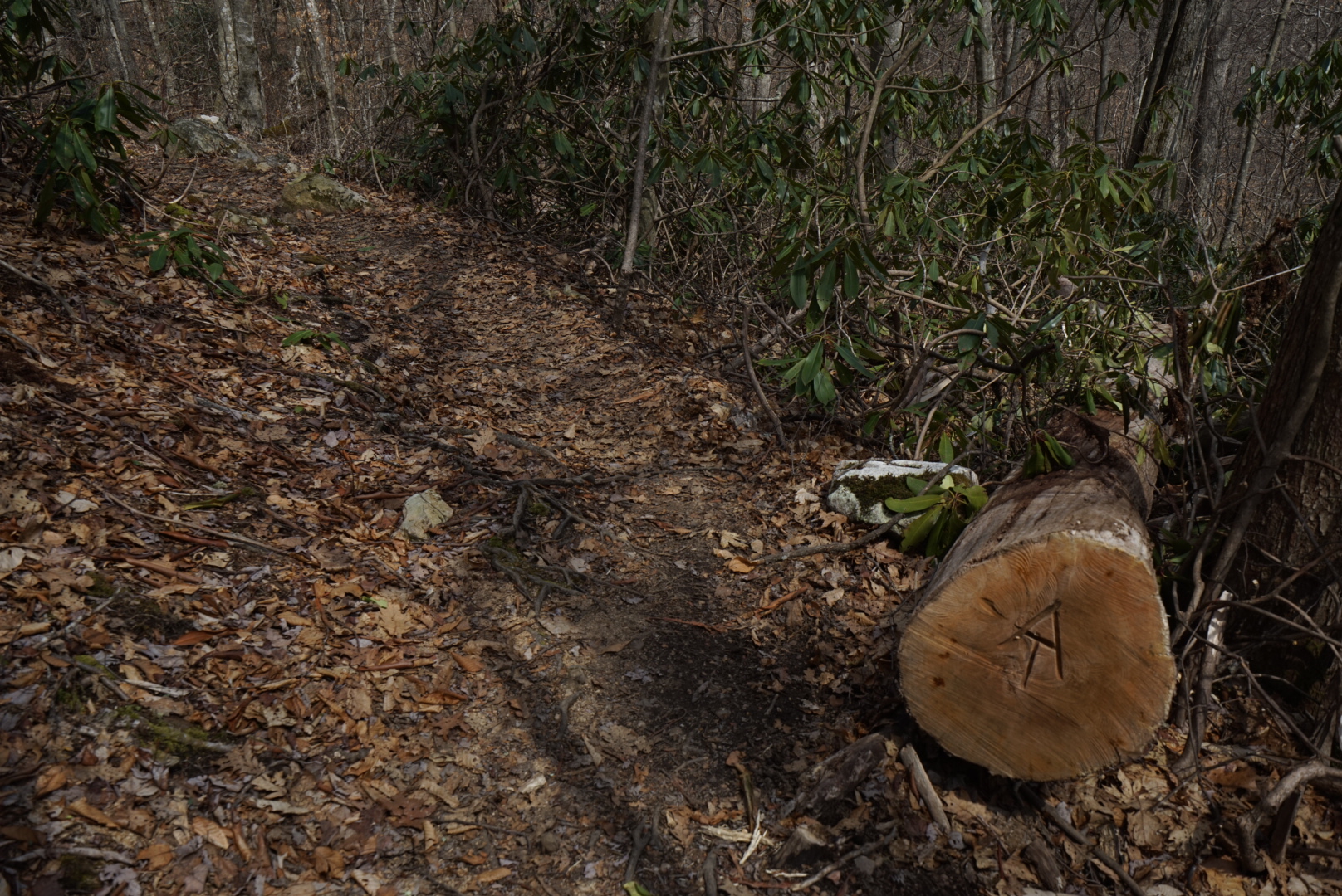 From Allen Gap the trail climbs steadily upwards, passing Little Laurel Shelter, then begins to flatten out above 4700 feet. In the guidebook, the terrain looks flat and lovely from here. In reality, it is a several mile long rock scramble over what Legs named, Dwayne the Rock Mountain. It’s real name is Firescald Knob, and it’s not the elevation changes that get you. Rather it’s the boulder hopping and scrambling, that beat the body down. Not all is lost, as views open up to the left and right. The right shows a tugley wood and wilderness, the left, civilization dotting the rolling hills.

Big Butt Mountain is a real Mountain. It can be found after Jerry Cabin Shelter, it’s summit the home to a giant boulder split vertically down the middle, that might resemble a butt if you were 12 years old. The approach and subsequent descent are marked by open meadows with dramatic Oak Trees. Scraggly vines colored the dark red of deoxygenated blood covered every inch of open ground next to the trail.


 Our home for the night was Flint Mountain Shelter. Flint was unique due to it’s double platform, and unreasonably small privy. The privy had about enough leg room for an amputee, so using it meant resting the open door against your knees and hoping no one was extra curious.

 In some kind of a miracle, NO ONE SNORED at the shelter that night, though we were blasted by a viscous thunderstorm sometime in the early hours of the morning.
We awoke at Flint and made our way North. Leaving the protection of the shelter, we ventured out into the melancholy day. Everything hung low and wet, from the clouds to the rhododendron leaves. It wasn’t raining, yet, but we gave it a minute and weren’t shocked when the skies opened.

 The rain, some leg pain, and a hand drawn sign pointing .2 off trail to “pizza” convinced us to head to the Laurel Rector Hostel.
The Hostel turned out to be a small wooden shack with beds that may have fit a field mouse. Pizza turned out to be $3 slices of frozen, Ellios pizza, but we still bought two and wolfed them down. Like many times before, the trail would provide, and the rainiest part of the day would pass as we took refuge in the shack.
We had to leave, so we donned our rain gear and made for the trail. Let me explain something to you future hikers. When you put your rain gear on, it will either stop raining, or the trail will immediately go uphill. The latter makes you as wet as you would be without rain gear, and a whole lot smellier. Of course, we went straight up, and in a matter of minutes, were out of our rain gear.
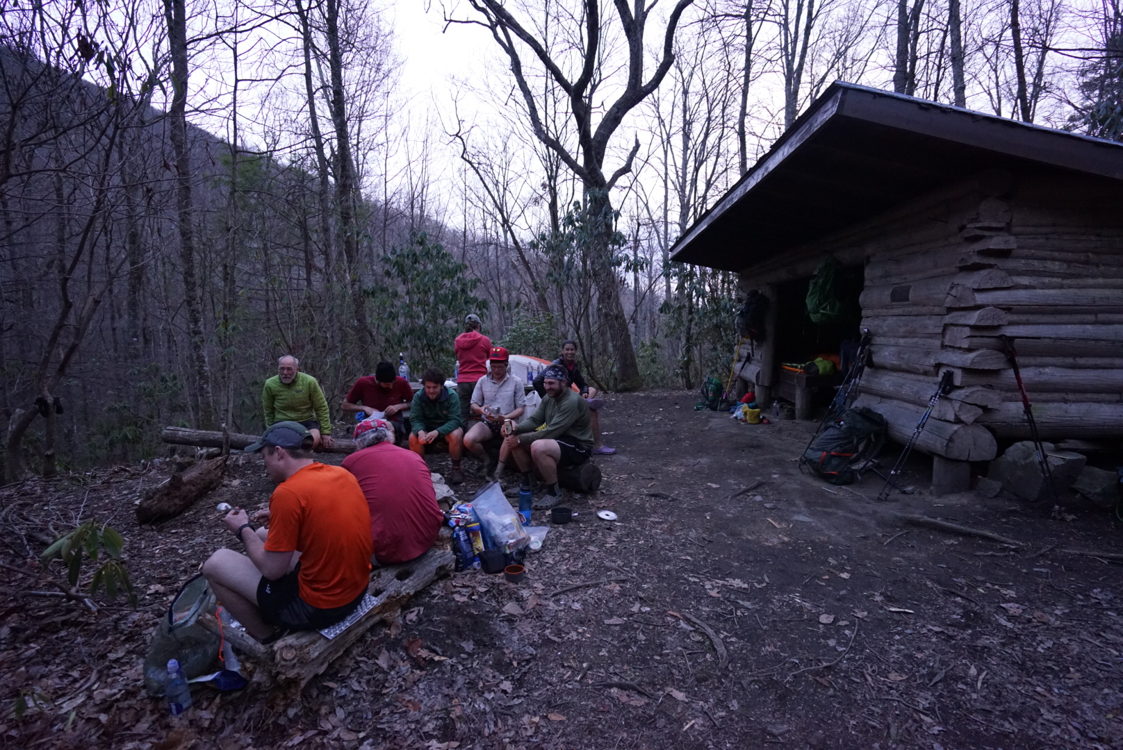
Again after the summit, more open fields and dark red grass. We reached Hogback Ridge Shelter for a snack, but stayed for over an hour. Here, we would meet 1st Sergeant, a 30 year military man and all around badass. If you wanted to know anything, from knot tying to scuba diving, chances are he knew it.
 7 miles later, we all convened at a campsite in Low Gap (yet another one). The normal tramily was all there, Oz, Strider, Glim Glom, Wet Wipes, Lumber Jill, and us. We built a fire between two fallen trees, overlapped like chopsticks. Only one “site” was actually flat, so we all spent the night slipping and sliding on nylon. It’s hard science to us hikers, that any surface that is not refectory flat, will result with you bunched up st the end of your sleeping bag.
 From Low Gap, we would hike a shorter day (15 miles), to No Business Knob Shelter. The plan was to get close to Erwin, but not enter, so as to save money and leave town for once. We would hike in the next morning, eat at a restaurant, resupply, then get out. It was a smart idea, I forget who came up with it. I remember it was someone who was devilishly handsome, tall, and named Darwin.
The day would start with a stiff climb, and a comment from Legs saying she wanted to hike along this morning. I set off, heart broken and sobbing profusely.
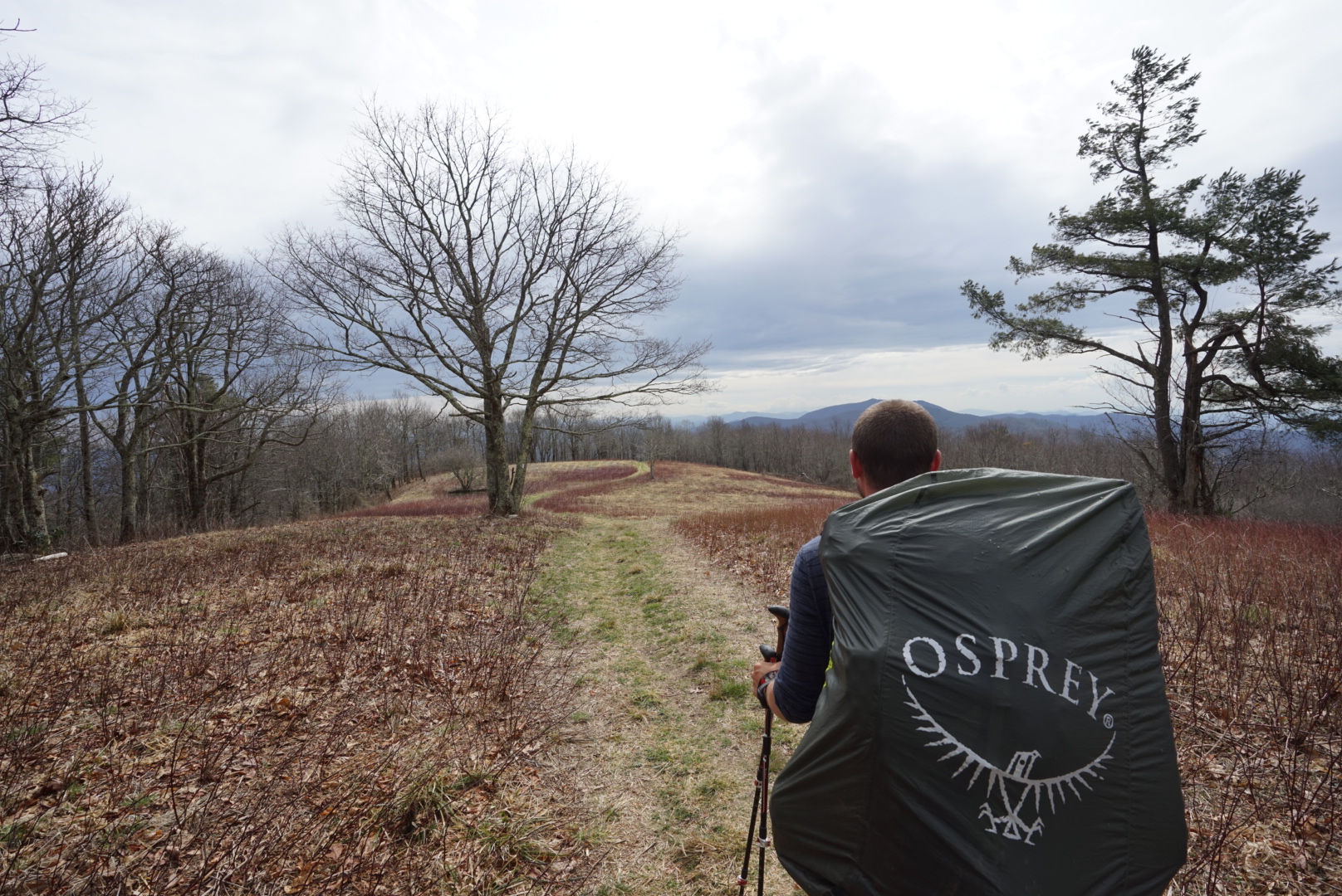
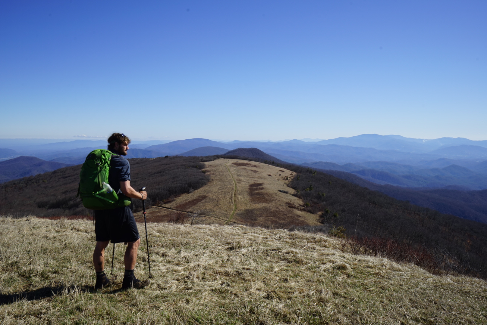
The trail rises 1200 feet to Big Bald, a big…bald. Forget Max Patch, where you fight day hikers for space. Big Bald is taller, harder to get to, and has better views than Max Patch, making it a hiker only summit.
 It was another 11ish miles to No Business Knob, and it was my turn to spurn Legs, so I set off alone. The miles were fast, but monotonous. I passed creek after creek at a good clip, thinking about the water at the shelter. It was only after I put my pack down on the wooden floor of the shelter, that I realized I had passed the source .3 miles ago. I DARE YOU TO TELL ME .6 ROUND TRIP ISN’T THAT BAD. I DARE YOU.
No Business is named after old timey bootleggers and moonshiners who had no business being up there. For us, it was the myriad of pin head sized spiders that we wanted no business with, so we slept outside, cowboy camping.
 Sleeping under the stars is vastly different from sleeping in a tent or shelter. For one, you don’t have the millimeter thin nylon to protect you from murderers and bears. For another, you can see the night sky above you, and feel the earth breath below you. I had cowboy camped many times on the PCT, but this was Legs first real time. The sky didn’t disappoint, and we could see countless stars through the naked branches of the surrounding Oak Trees.
The following morning was an easy 6.3 downhill to the Nolichucky River and Erwin, where we would, for the first time ever. Hike into town, get all our stuff done, and get out of town. All in one day. Boom.