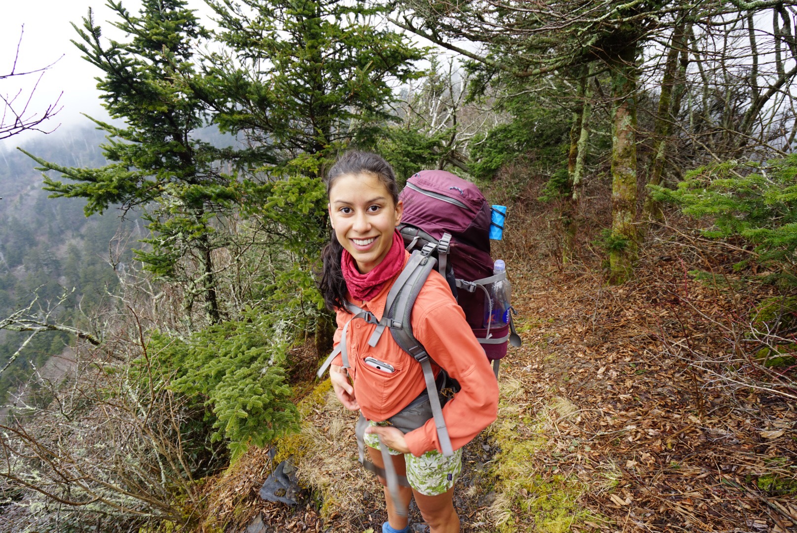
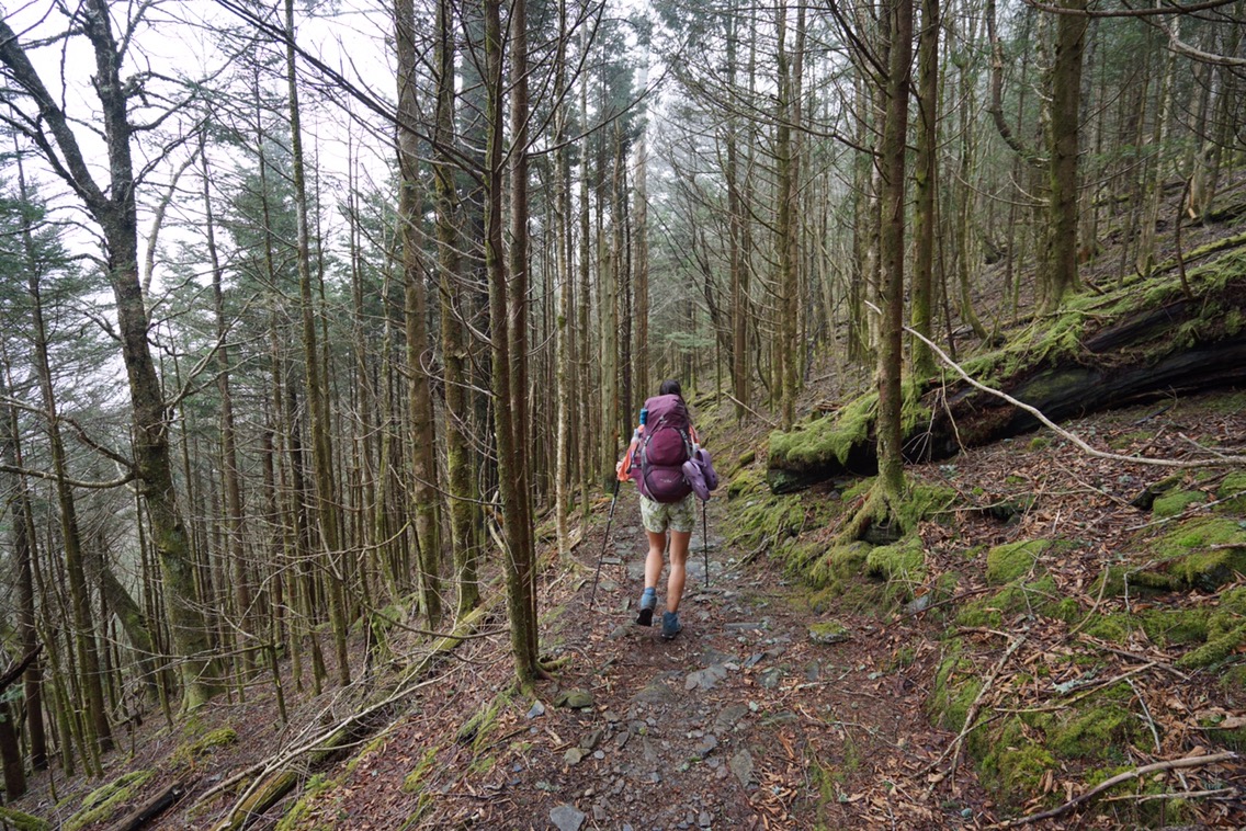
Low and behold, on day three of the Smokies, our morning was misty and wet. At this point though, we knew how the Smokies worked, so we just waited for noon to bring out the cameras. It was 12:10pm when the sun finally burned away the silver blanket, and by a stroke of luck, we found ourselves at Eagle Rocks.
Legs enjoying the SmokiesHiking thru the verdant Smokies
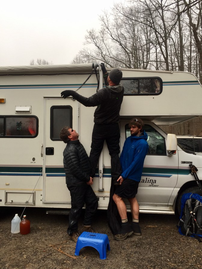
In the morning we left Hiawassee and drove back to Unicoi Gap. I felt better since I started taking medication for my bronchitis and was eager to get back on trail. As we pulled up, 8Track and his lovely wife Kathy arrived in their RV, “promptly” pulling down the awning, and handing out a three course serving of Trail Magic. Pancakes, sausage, eggs and bacon, washed down with cider and maybe something a little stonger, it was truly magical. Our stomachs full, we started up Rocky Mountain.
Darwin and 8Track helping HopScotch pull down the awning
Rocky Mountain is a steep climb, and due to the low clouds, we hiked through a dense mist, sweeping in and out of the trees. We took our time on the tough climb down due to our knees begging for mercy. But, as is the way of the AT we soon started back up, now on Tray Mountain. Down again, and 5 miles later, we found ourselves at Sassafras Gap. We’d share this camp with no one but the rain. We managed to set up our tent and rain fly with minimal rain inside of our tent but by the time we were all settled into our tent early in the afternoon, our packs were soaked. Fortunately, everything that needed to stay dry did and we listened to an audiobook for a few hours before the rain lulled us to sleep. Continue reading “Appalachian Trail Thru Hike: Unicoi Gap to Winding Stair Gap”
The rock arch designating the start of the Approach Trail at Amicalola Falls State ParkMax Epperson Shelter on the Approach Trail.
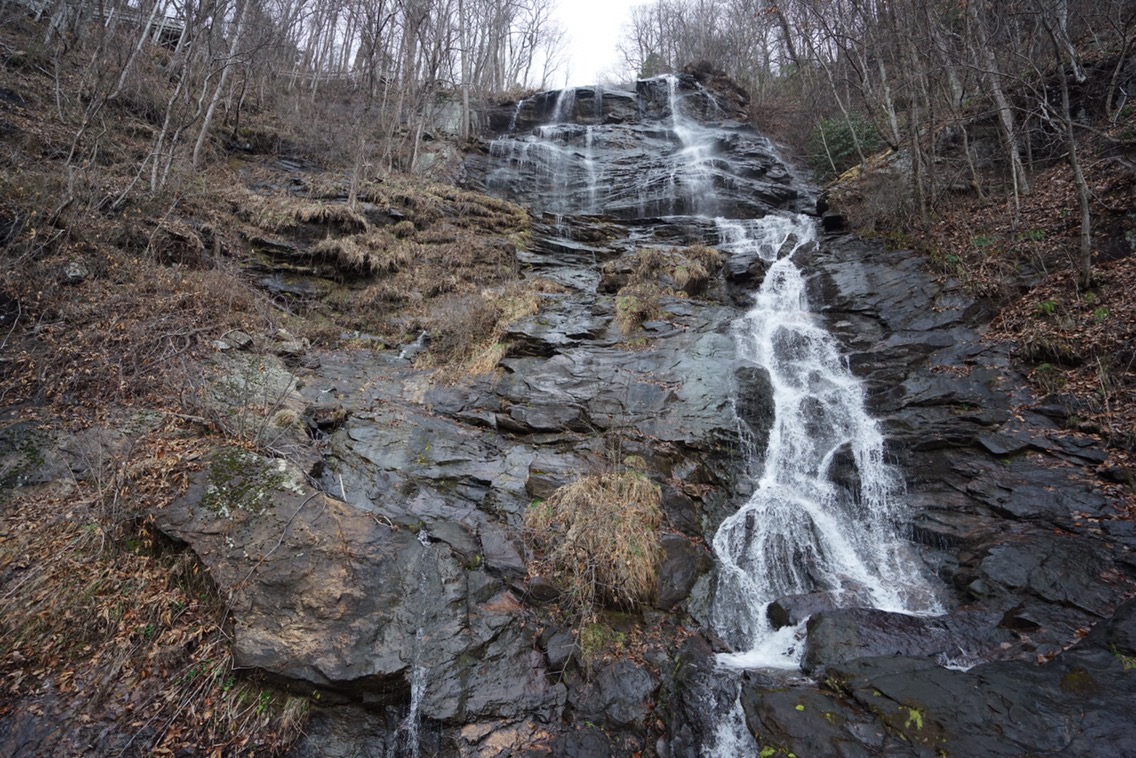
If you like boxing for 8 rounds, and not having it count, by all means do the Approach Trail. Sure, the falls are the tallest east of the Mississippi, and sure the steadily uphill 8.8 mile trail isn’t too hard, but it resulted in us hiking 11.6 miles where only 2.8 counted on the actual AT. There are some benefits of the Approach. Firstly, it’s cheaper to get a shuttle there from the North Springs MARTA station. We used Survivor Dave’s shittle, a bombastic thru hiker alumni who charged us $95 for the two of us. Second, the falls are rather stunning, and you can see the whole cascade as you climb 403 steps to the top. Finally, you don’t have to start your hike backtracking one mile south to Springer Mountain. As we all know, one can never truly trust a southbounder.
The dreaded stairs of the Approach TrailAmicalola is the tallest falls east of the Mississippi
On March 1st, we started walking north, and stood on top of Springer Mountain, the southern terminus of the Appalachian Trail. Rain was on the horizon, so we didnt linger. Our first steps were more like leaps, as we both wanted to jump into this new adventure with both feet. This was a little tradition of mine, as I did the same for the PCT. Continue reading “Appalachian Trail Thru Hike: Amicalola Falls State Park, GA to Unicoi Gap, GA”
The contrast between the Alabama Hills, and the eastern escarpment of California’s Sierra Nevada mountains is something to behold. Below; smooth, earth tones abound, as stacks of monzogranite boulders lay scattered in all directions. Above; a sharp, blue wall of glowing granite, with Mt. Whitney serving as the highest spear tip. Tucked into the labyrinth, hide natural arches. The best part, it’s just one stop on the outdoor playground that is, California’s HW395! Continue reading The Alabama Hills & Other Adventures on Cali’s 395.